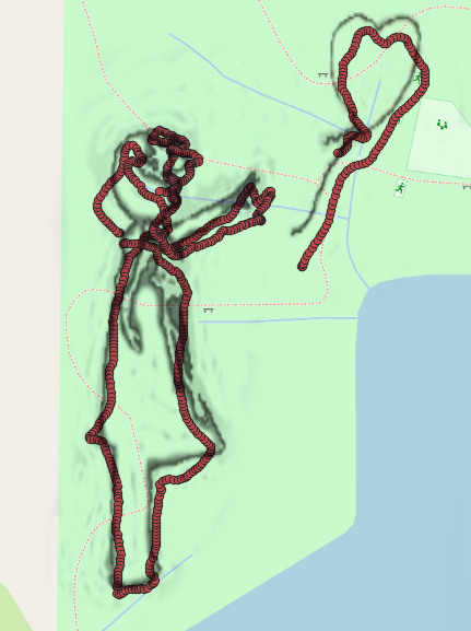
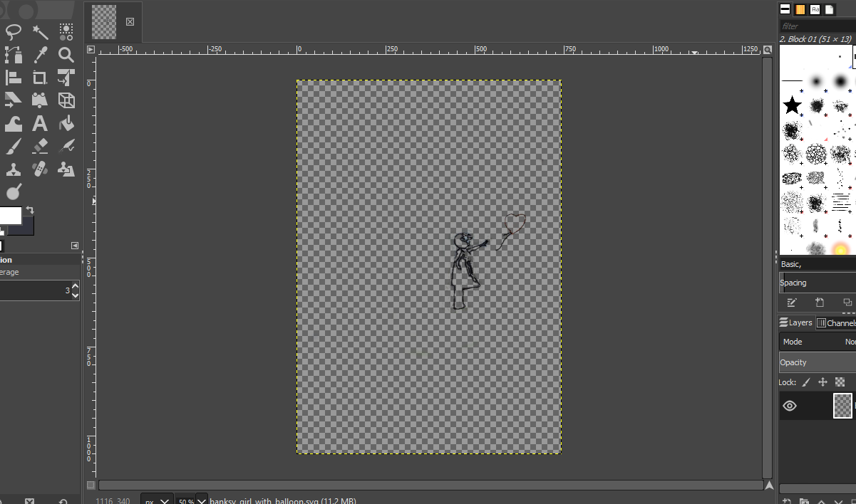
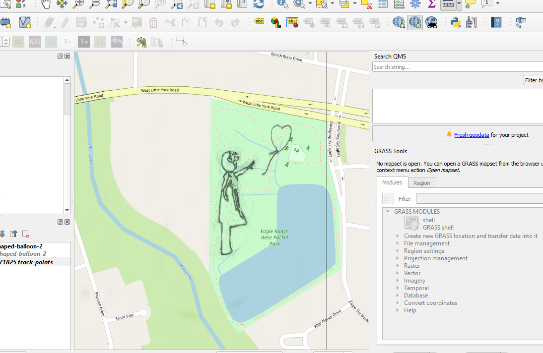
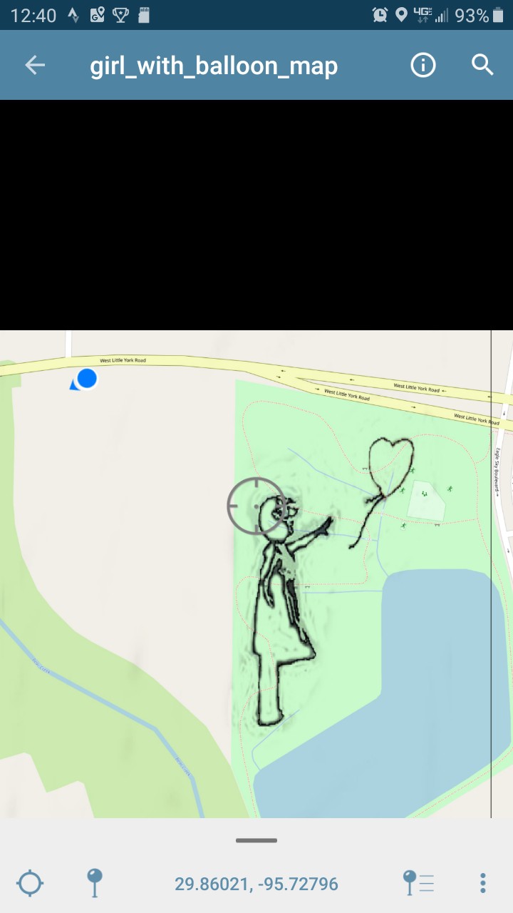
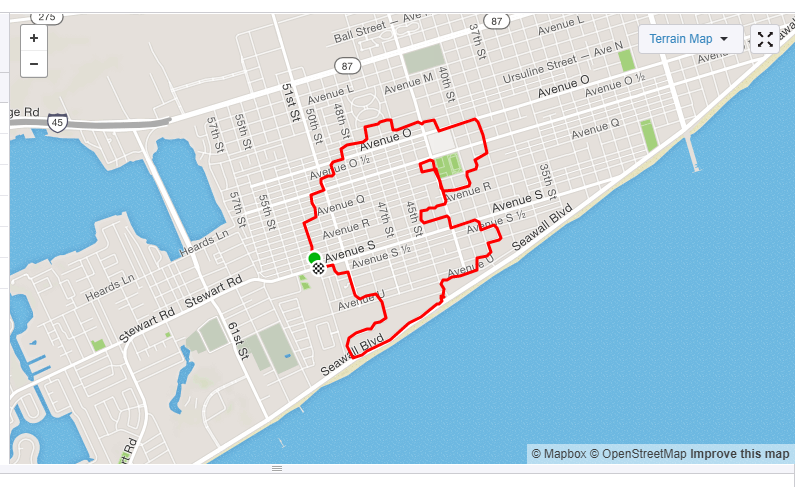
• Following the Map

    jlbrian711/17/2019 at 19:47 0 comments

    My phone showed that I was able to closely follow the custom map, but what the GPS logged showed a different story.  Here is the output uploaded to Strava:

    and by going to the Garmin connect site it is possible to download the track in a GPX format, which can be imported into qgis as a vector file.

    Here the logged datapoints are off by about 25' to 35'.

    So, the next step will be to follow a custom map while logging the gps on my cell phone, and see how far off the datapoints are there, in relation to the map.

  • Refining the Process

    jlbrian711/17/2019 at 19:38 0 comments

    The next step was to create an interactive map, and test the capabilities of the Garmin device, just to see what could be accomplished.

    I grabbed an image off of a google search, opened it up in Gimp, and cleaned it up so that I just had the lines that I wanted:

    After I was happy with what I had I exported the image as a .tif, and then went to qgis.

    First I added an OpenMaps layer, and then imported the .tif image using the Freehand raster georeferencer plugin.  This made it easy to position the image where I wanted to walk, since there was no geo info with the image I just created.

    Now that the image is in place, a layout is created, and saved as a pdf, which was then transferred to my phone, and imported into the Avenza Maps app.

  • First Attempt

    jlbrian711/17/2019 at 19:25 0 comments

    Here I placed a png of pacman over a portion of Galveston, and just tried to follow it the best I could.  It was pretty terrible.

    Here is the data that was captured, and uploaded to strava: