 Eric Wiiliam
After the rain passed on Sunday I was able to get out and run another proper field test with the ground unit. Video of this test and all the case builds should be live in a few weeks (part 2 only airs tomorrow on YouTube) so here is the text version...
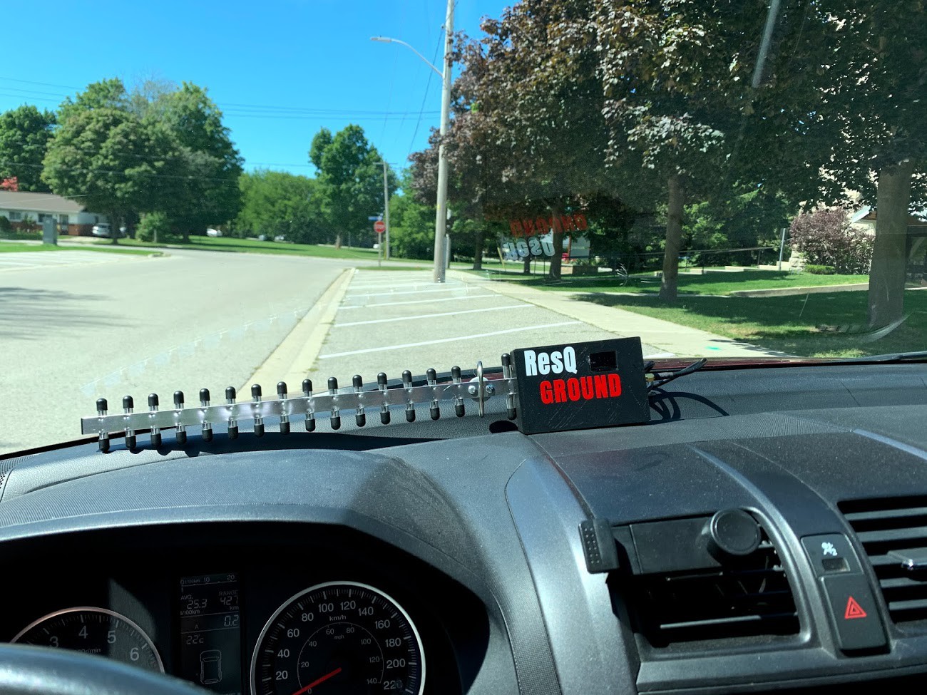
I set the unit on my dashboard and went for a drive- sure enough lots of hits
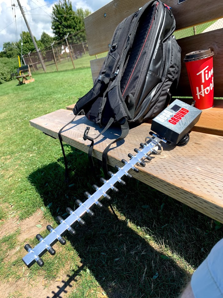
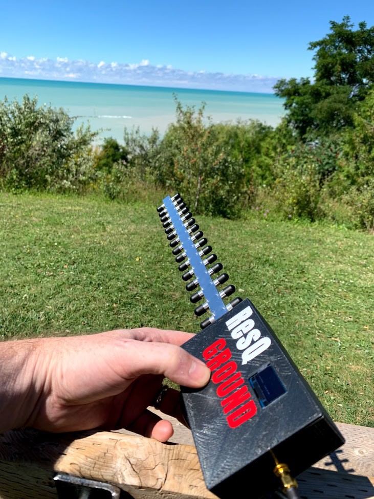
I headed over to my spot above the cove beach. Same as last time- I'm about ~200 m (I think) above the beach and there are also plenty of trees between me and my test subjects. There were a few people around me but the majority are far down below:
Again the YAGI didn't disappoint and the MAC count rose above 100 in no time
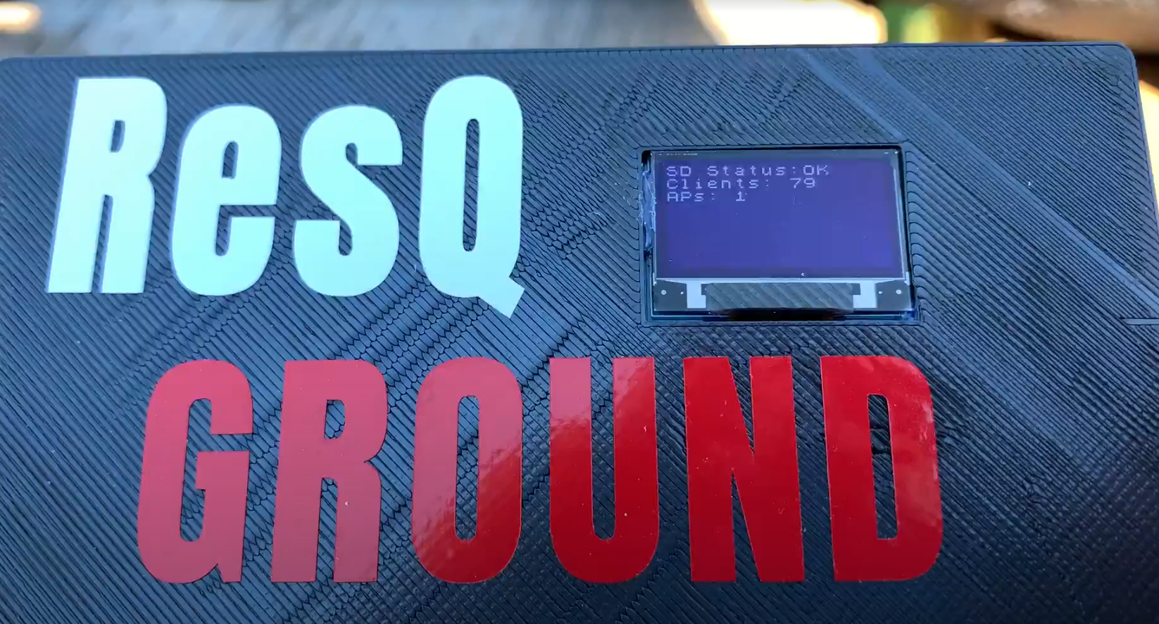
Since the rolling shutter effect only lets let me photograph half the display- here is a video https://photos.app.goo.gl/TTCBib6QPf9TkPNYA
It's a bit crazy how well this works since I'm not even at the edge of the cliff/bluff so the ground and trees are definitely attenuating most of the signals from below. Neat
It works so GOOD! I couldn't be happier.
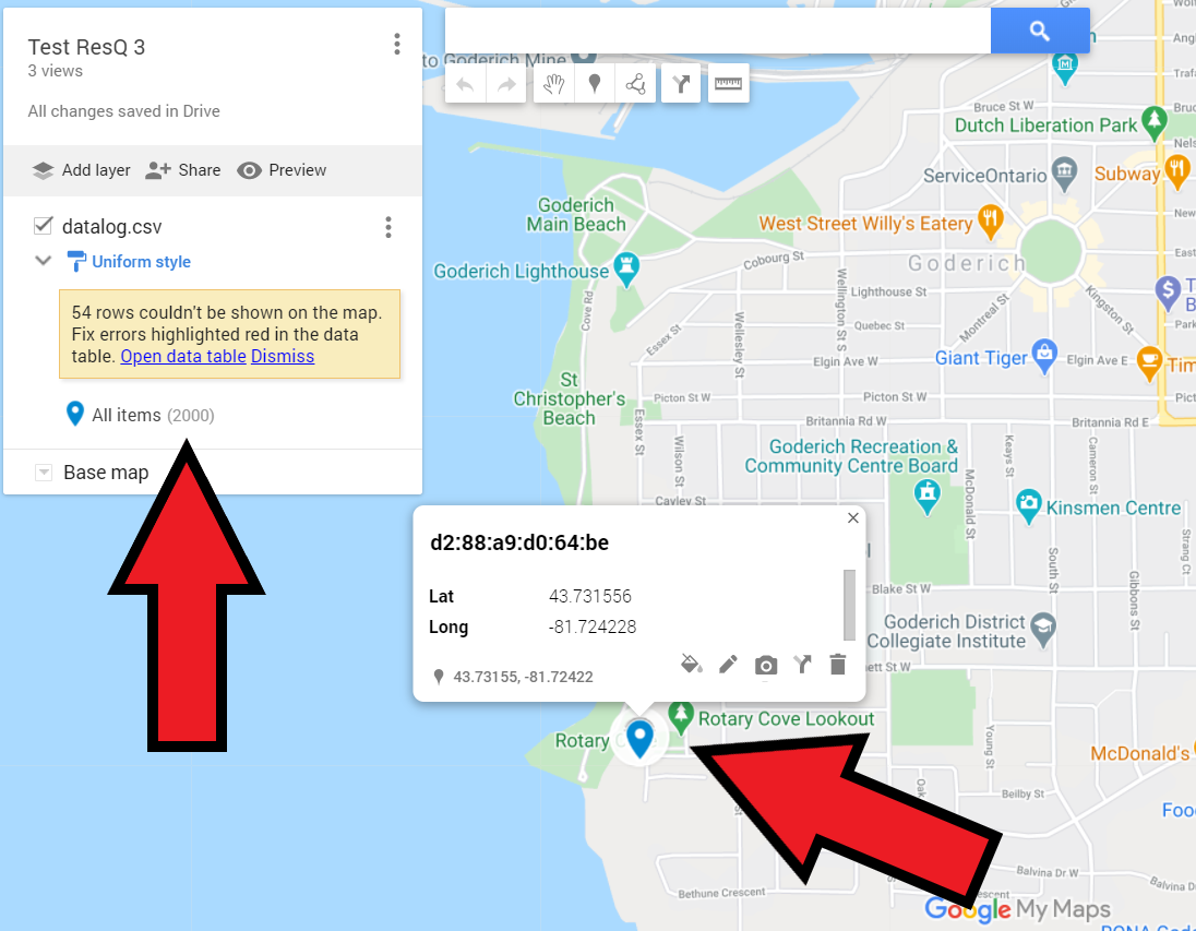
When I got home I started to write the instructions for how to plot the GPS locations on a map. It is no problem to upload the .csv file to Google Maps and plot up to 2000 hits at a time. It is limited to 2000 so you just have to copy/paste if your file has more than that (hopefully not if you are doing a search )
I added the instructions to the readme on GIT and have updated the user manual which I will release in some weeks (it is over 40 pages now but needs more to make this project even easier for anyone)
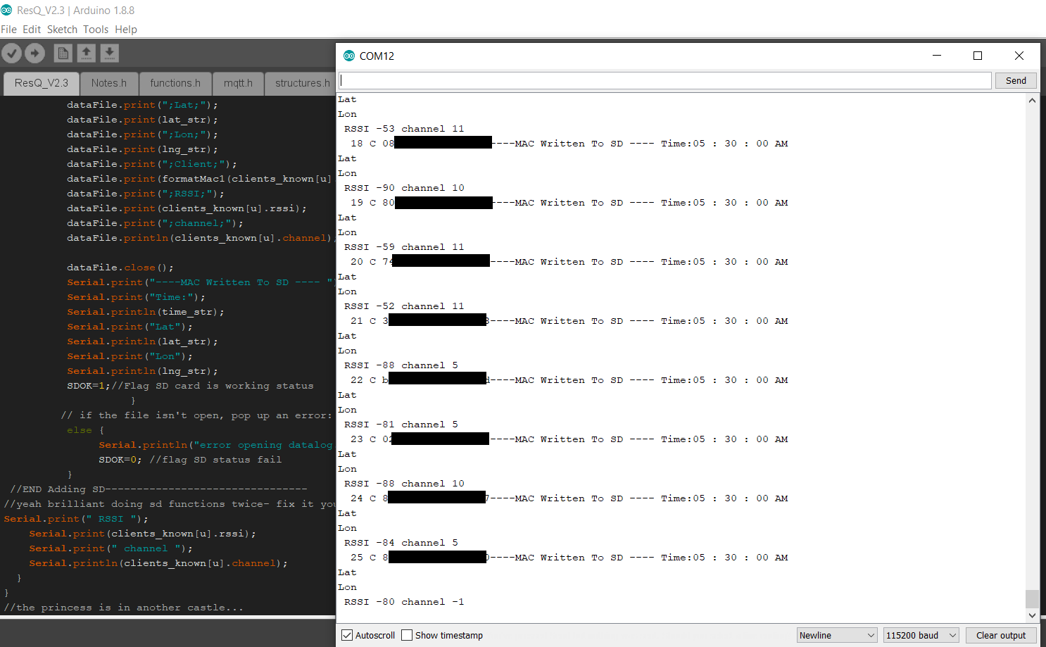
Last night I pushed a new code release to GIT which removed the logging of AP's to the SD card. This just added noise to the dataset that had to be removed before Google Maps can easily take the file. They are still logged to the display and serial though because- why not.
Here is the serial communication currently (note this is in my basement so no GPS location fix but it gets time no problem)
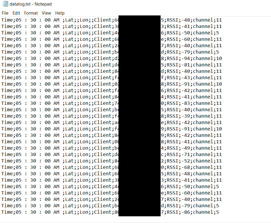
And here is the data file from the SD card. Nice and simple .csv which Google maps accepts directly (good idea to add column headers as I instruct in the readme)
So at this point I see no need to add any amplification to the RF circuit. Because we are not dealing with any data transfer- just getting the ID, it seems as though the system is pretty robust and can pull MAC addresses and RSSI right out of the noise floor :) So it seems anyhow.
We will know more once some others play around and test this out for themselves. So far- I think I can move on to finalizing V2.xxx of the PCB and make some kits available to people who might want one. Will see how it goes.
I ween.
Discussions
Become a Hackaday.io Member
Create an account to leave a comment. Already have an account? Log In.