 Charlie Lindahl
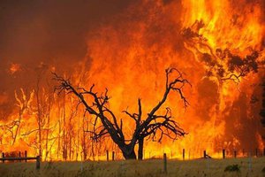
The need is for the local residents to be able to tell from a distance if the bridge is flooded. It is the shortest route between locations in this mountain community, and, if the bridge is flooded (blocked) a rather long detour is required.
The intent is to build a reliable flood sensor so that residents can refer to a digital online map (probably Google) to tell if the bridge is flooded.
Additionally, since the sensor will be continually operating a historical record can be compiled and compared with weather patterns for potentially predicting flood conditions.
Being in a rural area, the cellular coverage is spotty at best so a LORA-based solution is being pursued.
And since LORA is low-power by design, and solar panels can be rigged for the sensor system, the intent is to have little or no maintenance required for power.
 Danie Conradie
 Marco Camilli
 JoEmbedded