 Weishan (Wesley) Yang
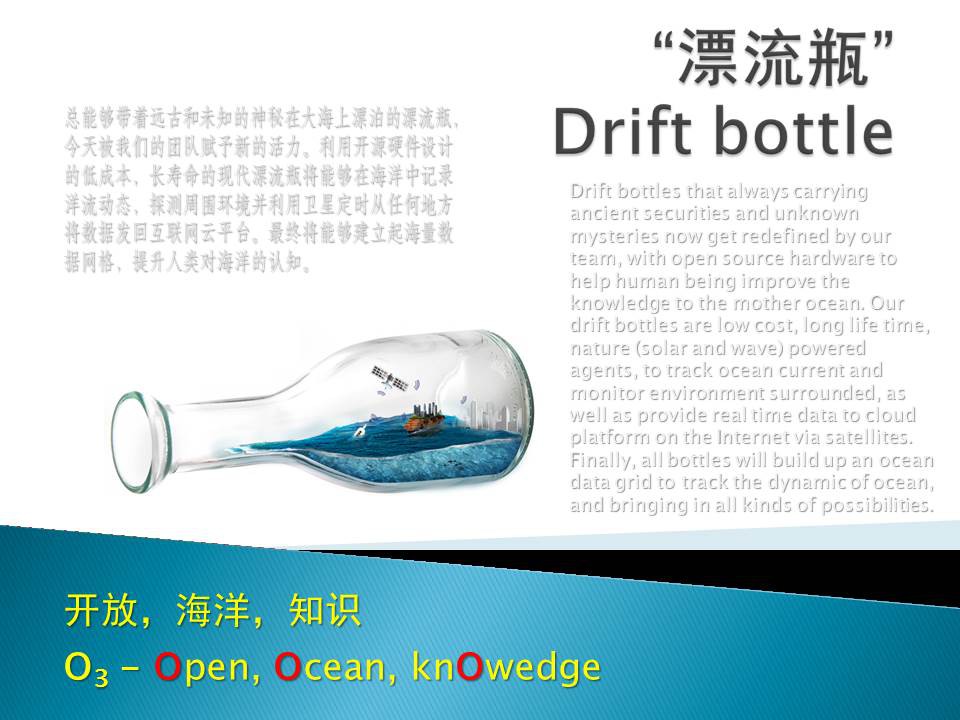
Since ancient times, drift bottles are an interest way for people to communicate across the ocean. Without knowing where to float, where to end and whom to meet with, drift bottles are full of sense of mystery.
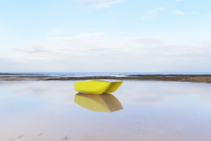
As time goes by, though drift bottle is no longer suitable for the modern society to effectively deliver messages, we have developed a new kind of “drift bottle” to help us explore the water surface, to enrich our knowledge to oceans on earth.
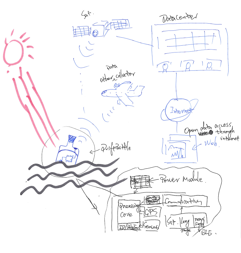
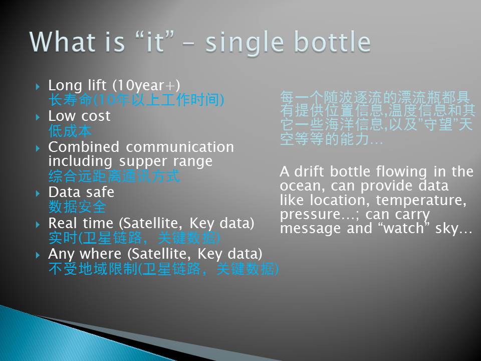
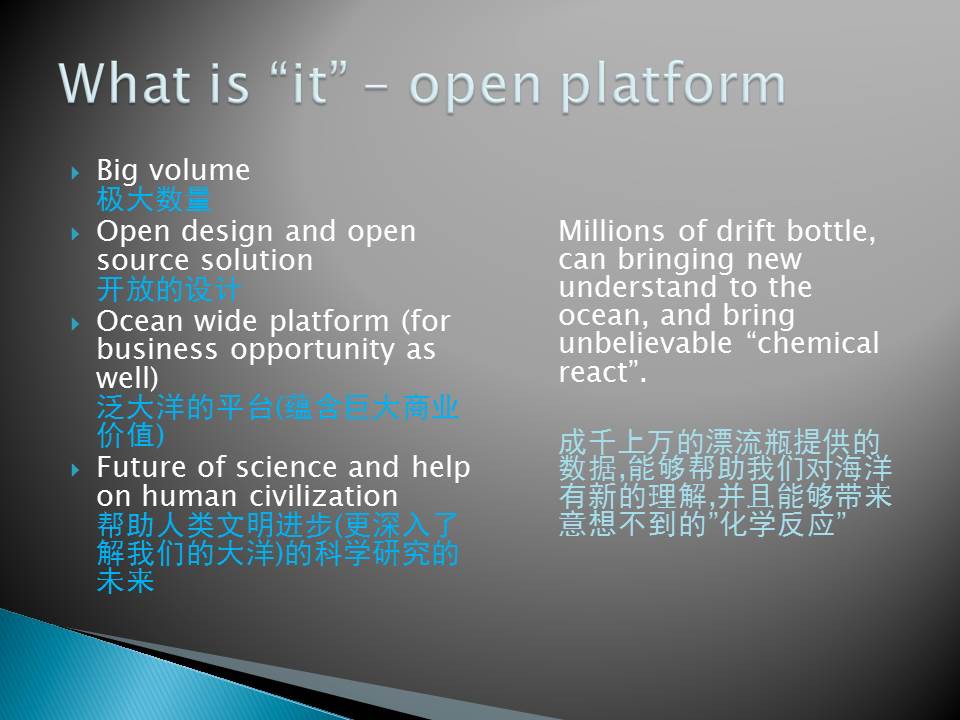
Imaging that we put a large number of bottles into the sea, under the action of ocean currents, bottles scatter throughout the ocean could locate the position of themselves GPS and collect the physical data from where they are in. They will then transmit information via satellite back to the station and processed and shared on cloud platform. Through the accumulation of time, we can set a big data platform which contains information of ocean surface in both historical and real time. Thereby the information provided by drift bottles can be used for analysis by the meteorological department and ocean department et al.
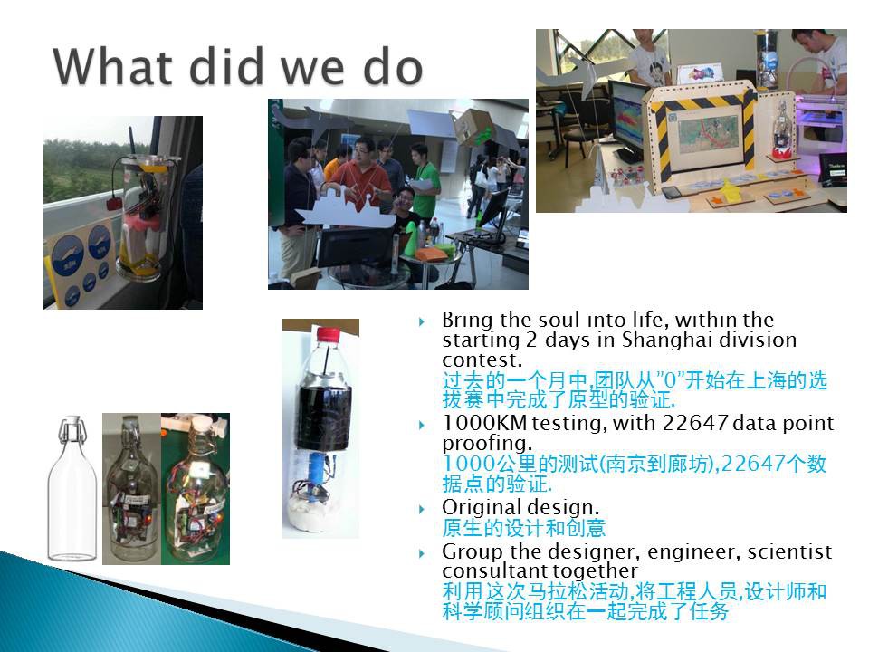
Therefore, by designing the product and utilizing open source hardware, our team is to create this new type of low-cost drift bottles which can service at least 10 years in field. Their basic function is to locate the position; collect the information of the ocean surrounded and transmits information through multilevel of method including satellite. The main use of the datum is for the analysis of the meteorological department and marine research et al. In the future, it can be probably used to calibrate the sensor, take video above and underwater, check spectrum, Tsunami warning et al. Meanwhile, this platform will also provide big potential for other kind of business and market value as well.
Project intro as here:
And basic system design as here:

 John Costik